
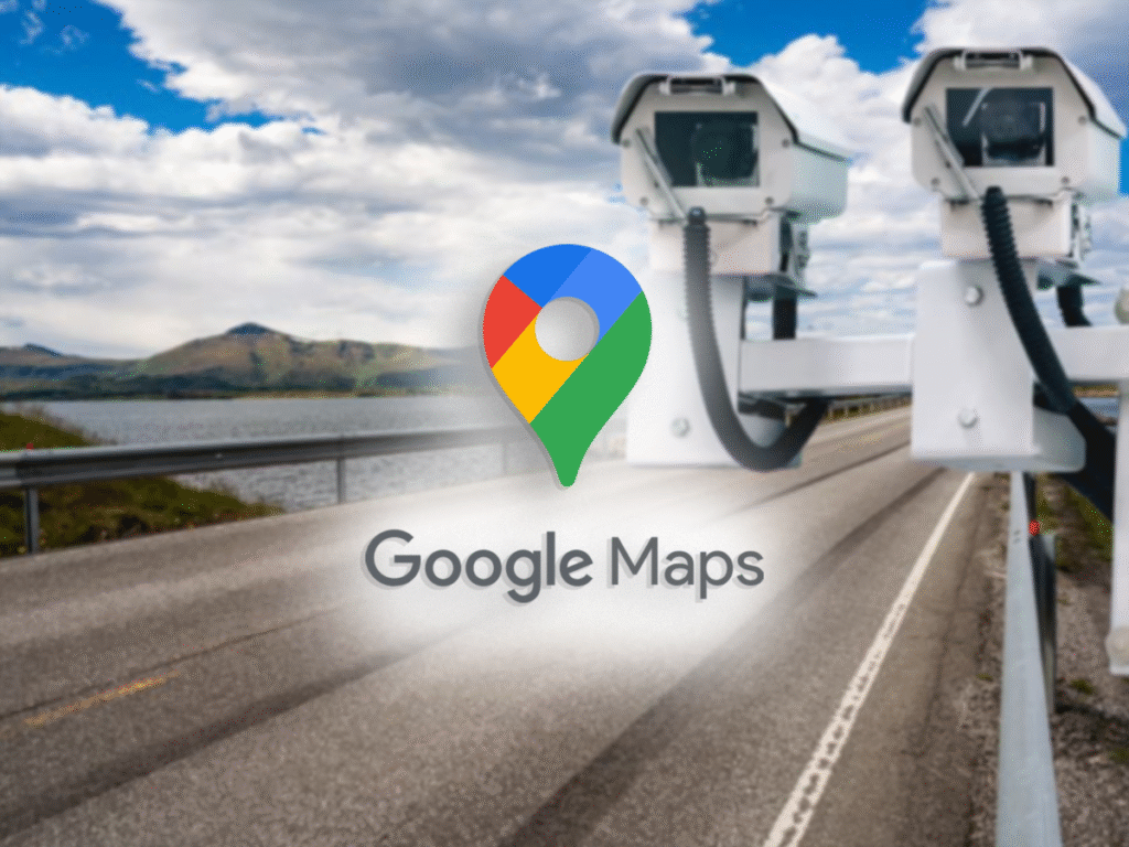
Radar alerts in Google Maps help drivers know where speed cameras are placed. This feature uses official information from traffic authorities to show fixed cameras. It also relies on real‐time user reports to point out mobile speed cameras. When drivers know where these cameras are, they can obey the speed limit and avoid fines. This makes the journey safer and more relaxed.
Getting Started with Google Maps
Before turning on radar alerts in Google Maps, drivers need to ensure their app is up to date. On Android devices, this means visiting the Google Play Store. On iPhones, it means using the App Store. An updated app has the latest features and data for radar alerts.
Some drivers link Google Maps to their car’s display using Android Auto or CarPlay. This setup keeps hands on the wheel and eyes on the road. It also ensures that radar alerts appear on a larger screen in the vehicle, making them easier to notice.
Activating Radar Alerts
To activate radar alerts, drivers open Google Maps and tap the profile icon in the top right corner. They then choose Settings from the menu. In Settings, they scroll to find Navigation Settings under the Browsing Preferences section. There, they will see options for Speed Alerts and Show Radar on Map. Switching these options on enables alerts for fixed and mobile speed cameras.
After activating radar alerts, the app will show orange icons for fixed radars. These icons mark the exact position of cameras from the official traffic database. Blue icons will appear for mobile radars based on user reports. To ensure voice notifications work, drivers return to Settings and tap Sound and Voice under Navigation Settings. From there, they enable voice guidance. This allows the app to announce radar locations out loud as the driver approaches them.
Plotting a Route
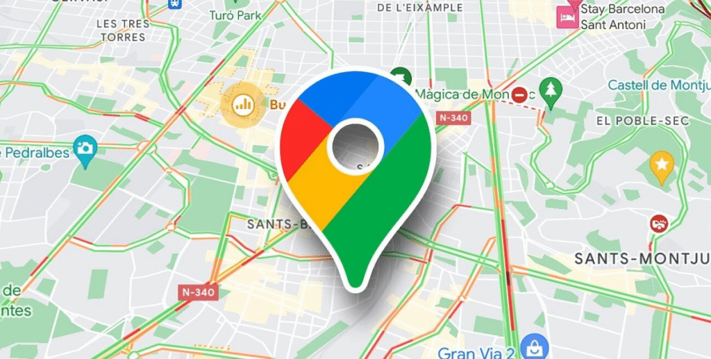
With radar alerts on drivers enter their destination in the search bar field. Google Maps then displays one or more possible routes. On the map, they will notice icons along the route. Orange icons represent fixed cameras. Blue icons represent user-reported mobile cameras. These icons help drivers see where speed enforcement may be active before they begin driving.
For example, if a driver plans a long trip on a highway, they will see fixed radar icons placed at regular intervals. They may also see blue icons where other users reported a mobile radar that day. With this information, the driver can adjust speed to stay within the limit and avoid fines.
Understanding Fixed and Mobile Radars
Fixed radars are cameras placed at strategic points along roads. They can capture speeding vehicles automatically. In Google Maps, these appear as orange camera icons at precise spots based on data from traffic authorities. The app updates this list periodically when official sources add or remove camera locations.
Mobile radars move from location to location each day. They rely on user reports for Google Maps to display an approximate location. Since reports come from drivers on the road, these icons appear in blue. When a driver taps a blue icon, they can see when another user last confirmed it. This helps drivers judge whether the mobile speed camera may still be in the area.
Mobile radar locations can change quickly. To keep data fresh, Google Maps asks drivers to confirm or remove the icon when they pass it. Users must make reports only when the vehicle is stationary or when someone else is driving.
Sending Reports and Updating Data
Drivers contribute to mobile radar data by tapping the plus button on the map screen and choosing Report a speed trap. They select Mobile radar and place the icon on the map. The app may ask if the radar is still in view when another driver approaches that area. This real‐time feedback ensures the map remains accurate for all users.
When drivers tap a radar icon, they can see the report time. If the icon shows a report from several hours ago, they may assume the radar is no longer there. If it was reported within the last ten or fifteen minutes, then it is more likely to still be active.
Reporting Other Incidents
Google Maps also allows reporting traffic jams, accidents, road work, lane closures, and obstacles. Drivers tap the plus button, then choose Add an incident. They pick the incident type, then confirm the location. This helps other drivers see accidents or road work ahead and plan accordingly. All reports must be made only when the vehicle is stopped or by a passenger to ensure safety.
Configuring Voice Notifications
Drivers must set up voice navigation in Google Maps. To do this, they open Settings and select Navigation Settings. Then they tap Sound and Voice. Within this section, they turn on the Play voice over Bluetooth if they drive with a Bluetooth system. They should also set the volume to the maximum level before starting the drive. This ensures radar alerts and traffic warnings can be heard clearly over road noise.
Voice alerts will say something like A speed camera ahead or Mobile radar ahead. When the driver hears this, they know to check their speed and stay within the limit.
Tips to Improve Safety and Avoid Fines
To make the most of radar alerts, drivers should keep these tips in mind:
- Respect the speed limit at all times. Radar alerts only inform. The responsibility for safe driving remains with the driver.
- Check the Traffic layer before starting a route. This shows live traffic conditions, new mobile radar reports, and other incidents.
- Use Android Auto or CarPlay to keep Google Maps and radar alerts on the car display. This reduces the need to look at the phone while driving.
- Regularly check for app updates. Google adds new radar locations and improves features in each release.
- When reporting mobile radars, always ensure the car is parked or a passenger makes the report. This avoids distractions and follows local laws.
Benefits of Radar Alerts in Google Maps
Radar alerts help drivers focus on the road with no surprises about camera locations. They reduce anxiety about unknowingly speeding in areas with high enforcement. Over time, this can also save money on fines. Since the app uses official data for fixed cameras and user feedback for mobile cameras, the information remains up to date. All of this helps drivers plan safer trips by choosing routes with fewer speed cameras if needed.
Final Thoughts
Radar alerts in Google Maps make driving safer and less stressful. By using both official data and user reports, drivers can know where fixed and mobile cameras are located. Configuring voice alerts and keeping the app updated ensures that drivers receive timely notifications. Combined with traffic and incident reporting features, Google Maps offers a comprehensive tool for a well-informed drive.


